|
|
|
|
|
|
| |
This
item has been viewed 13871 times. |
 |
| |
|
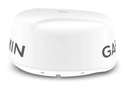
| White or Black |
| |
|
|
| |
|
Retail Price: $2,199.99 |
|
|
Our
Price:

|
|
|
|
|
|
| Item |
Manufacturer |
Retail Price |
Our Price |
Details |
|
GARMIN |
$1,799.99
|
|
|
|
GARMIN |
$2,199.99
|
|
|
|
GARMIN |
$2,799.99
|
|
|
|
GARMIN |
$2,999.99
|
|
|
|
GARMIN |
$6,199.99
|
|
|
|
GARMIN |
$6,499.99
|
|
|
|
GARMIN |
$6,699.99
|
|
|
|
GARMIN |
$8,199.99
|
|
|
|
GARMIN |
$8,699.99
|
|
|
|
|
NOTICE:
Due to manufactures regulations, we can not display
our low prices on the Internet.
Anytime you see a
icon listed in the price column, you should call us for your
BEST
price.
|
|